Incident Overview

Date: Saturday 15 November 1969
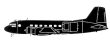
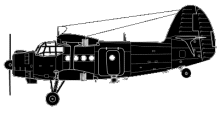
Aircraft Type: Ilyushin Il-14
Owner/operator: CAAC
Registration Number: 618
Location: Wuning County, Jiujiang, Jiangxi Province – ÿ China
Phase of Flight: Approach
Status: Destroyed, written off
Casualties: Fatalities: 6 / Occupants: 6
Component Affected: Aeronautical chartAeronautical chart
Category: Accident
A Il-14 aircraft deviated seven kilometers from its approach route and crashed into Mt. Taiping, resulting in a significant altitude loss. The aircraft?s altitude was incorrectly recorded as 508 meters, while the actual altitude was 841 meters.A Il-14 aircraft deviated seven kilometers from its approach route and crashed into Mt. Taiping, resulting in a significant altitude loss. The aircraft?s altitude was incorrectly recorded as 508 meters, while the actual altitude was 841 meters.

Description

The altitude of a mountain called Mt. Taiping was erroneously indicated on the aeronautical chart as 508 m, whereas the actual altitude was 841 m. The Il-14, which deviated seven kilometers from the approach route while flying through the clouds, crashed onto Mt. Taiping at an altitude of approximately 600 meters. The aircraft operated on a flight from Hankou Airport, also known as Wuhan Wangjiadun.

Primary Cause

Incorrect altitude data recording on the aeronautical chart.Incorrect altitude data recording on the aeronautical chart.

Share on:

Leave a Reply

Your email address will not be published. Required fields are marked *